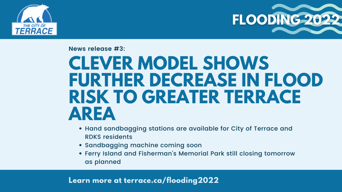
The River Forecast Centre’s latest CLEVER modelling for the Skeena River at Usk, released this morning, reveals the flood risk for the Greater Terrace area continues to decrease. Water levels are now predicted to peak at 5-year flows by Monday, June 6. However, the upper range of this prediction still shows the potential for 20-year flows. As such, the City of Terrace is still proceeding with the current flood plans, should the 20-year flows occur or should the modelling change again to be less favourable.
Sandbags:
Sandbag filling stations continue to be available for residents of the Greater Terrace area. Hand bagging is available at the City of Terrace Public Works yard and at the Thornhill Fire Department. Please check the website link below for details on hours, locations, which location to use based on residence, and other details related to accessing these resources. More information will be coming later today regarding the sandbagging machine from Emergency Management BC that will also be deployed.
Ferry Island and Fisherman’s Memorial Park:
There is no change to the plans to close Ferry Island and Fisherman’s Memorial Park to the public as a preventative measure. Ferry Island will be closed to both day users and overnight camping as of 11 am on Friday, June 3. Fisherman’s Memorial Park will also be closed to the public as of Friday, June 3. Members of the public are strongly reminded that a rising river is very dangerous—please stay safe and do not approach the riverbank in these or other locations.
All information, updates, and resources will be provided at https://www.terrace.ca/flooding2022 and shared through the City’s Facebook and Twitter accounts. Our next planned update will be later this afternoon with information on the sandbagging machine.